In more recent times the remains have been turned into off-road parts of the National Cycle Network and very popular have they become.
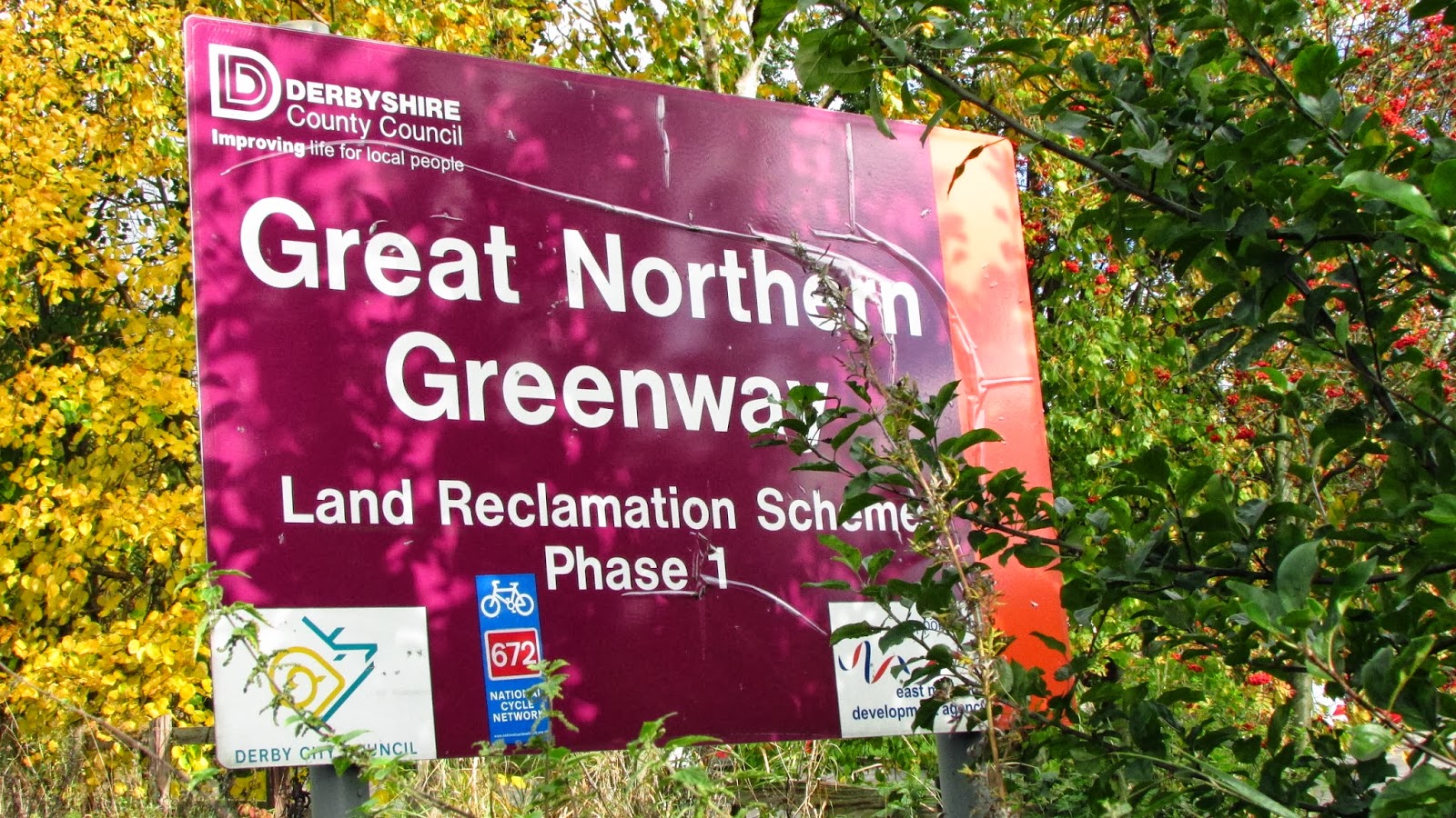
Locally they are known as the Mickleover Greenway and the Breadsall Greenway, rather than the overall official nomenclature of the Great Northern Greenway.
The Breadsall Greenway is Route 672 of the National Cycle Network and has two disadvantages - one that it's start is some distance from Derby City Centre, and the other that "it goes nowhere" according to some critics.
In this slideshow you will see that it is possible to cycle almost all the way off-road so it is a suitable and attractive ride for even the most nervous of cyclists.
Fifty nine pictures, so take a seat and enjoy the ride.
Click on pictures to see them full screen.


We start on Exeter Bridge (above), crossing the River Derwent from the Market Place and initially following the Riverside Path (NCN R6).
 |
| The Riverside Path is one of Derby's most successful and popular cycle paths, leading onto other parts of the National Cycle Network in Southerly and Easterly directions.. |
 |
| We leave R6 here turning left before the Trent-Barton bus garage towards the Pentagon Island. |
 |
| There is an excellent off-road cycle path leading towards the Pentagon |
 |
| We ride anti-clockwise around the Pentagon using no less than five Toucan crossings to get over the intersecting roads which are quite unsafe for cyclists. |
 |
| First crossing here to pass left of Kwikfit. |
 |
| Kwikfit on the right here. |
 |
| Second Toucan here in front of bus, taking us beneath the A52 flyover. |
 |
| Third Toucan takes us across the slip road and alongside Hydraulics Power. |
 |
| Fourth Toucan to cross the Old Nottingham Road (inbound). |
 |
| Fifth Toucan to cross Old Nottingham Road (outbound) turning left on cycle path ........................ |
 |
| ..............to pass the Derbyshire County Cricket Ground entrance. |
 |
| Follow cycle path ahead alongside Sir Frank Whittle Way where the cars are (appropriately) jet propelled, in spite of the 40mph speed limit. |
 |
| A nice off road path now......................... |
 |
| .................. with lots of trees separating us from the sound, the smell and the noise of the motor vehicles on the main road. |
 |
| Nice wide grass verges as we head towards Racecourse Park. |
 |
| And here it is. |
 |
| Bear left here |
 |
| And straight on here. |
 |
| The tarmac ends here.,but not because of a lack of funds. Beneath your wheels on the dust path are Roman remains. Not worth digging up apparently, but too valuable to be destroyed by the foundations of a tarmac path. The solution was this shallow path formed of honeycomb plastic, filled with fine gravel, which needs no sub-base and could easily be removed to give access for a future archaeological excavation. |
 |
| This is what it looks like close up. A good grippy surface which allows rain water to percolate through so no puddles. |
 |
| Back on tarmac now as we approach the crossing of Hampshire Road. |
 |
| Cross here with care .......................... |
 |
| ...........following the signs towards Ilkeston, the ultimate destination of the Breadsall Greenway. Note that we are on NCN Route 66 here, that being a regional route 28 miles long which circumnavigates the City of Derby. |
 |
| Keep following the tarmac path. |
 |
| ........until reaching Old Mansfield Road and follow this to the next junction. Ignore the blue sign, we are taking a much nicer route. |
 |
| Take the Toucan crossing to the Paddock Pub turning left on the opposite pavement. |
 |
| Keep on the shared path in front of the Paddock................... |
 |
| ............turning onto the Breadsall Greenway at this gate. |

 |
| The long wall on the right is all that remains of Racecourse Siding which was a station for off-loading race horses in the days when Racecourse Park was actually a racecourse. |
 |
| Two railwaymen were killed here, being hit by a train on a dark foggy night. |
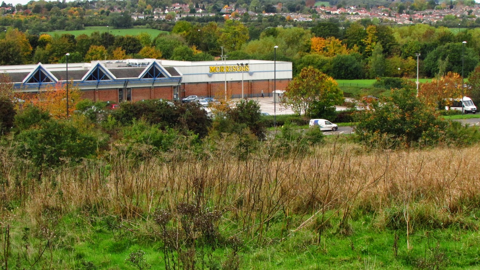 |
| Looking downhill to the left we see Morrison's Supermarket on the far side of Sir Frank Whittle Way. In the background is Allestree and Abbey Hill a part of the A38 trunk road. |
 |
| The path, in fact the whole greenway, is surprisingly undulating for a disused railway but there have been several landslips and much earthmoving carried out over the years. |
 |
| Uphill as we approach the site of Breadsall Station. |
 |
| These massive stone gatepost originally supported the gates of the level crossing alongside the signal box. The gates seen here are modern substitutes. |
 |
| Looking towards the site of Breadsall Station. |
 |
| Re-furbished remains of the signal box. |
 |
| And opposite the lamp shed. |

 |
| The walls of the station and the station master's house have been re-built to a low height to show the position and layout. |
 |
| Here was the platform. |
 |
| Looking to the left we see the spire of Breadsall church and this track leads into the village. |
 |
| Seat and bird table installed by the Derby Sustrans Rangers. |
 |
| A level stretch here; the original track bed. |
 |
| And then, from the seat, a downhill stretch. The railway ran on top of the embankment (left) to a high level bridge which crossed Windmill Bridleway (ahead). |
 |
| At the bottom of the hill we cross the bridleway. |

 |
| Looking to the right the bridleway runs uphill to Breadsall Hilltop where there was once a windmill. |
 |
| And to the left access to Brookside Road and we see the remaining brickwork of the high level bridge which once carried the railway. |
 |
| Uphill now to regain railway track level......................... |
 |
| ..............but worth the effort. |
 |
| We climb way above track level to the summit of the path. The railway ran in a deep cutting on the left to pass under the A608 road ahead, but most of the bridge was demolished when the road was widened so we have to climb to road level........ |
 |
| ..................here at Sixoate Gate, marking the current end of the Greenway which is soon to be extended to Lime Lane at Morley. The route will cross the A608 road ahead from left to right |
 |
| It will follow this path crossing Brookside Road............ |
 |
| ....................and cross the A608 at the end of the Armco barrier on the right of the main road. |
 |
| Here. |
2 comments:
Very interesting series of photos Les. Not been onto the Greenway since September. Every intention of checking on Lime Lane for any sign of work commencement. On your last but one photo, some equipment in the distance. Possible surveyors or such? Must make the effort to have a look.
An excellent collection of photographs. Must be an upmarket camera or clever photographer!!
Post a Comment